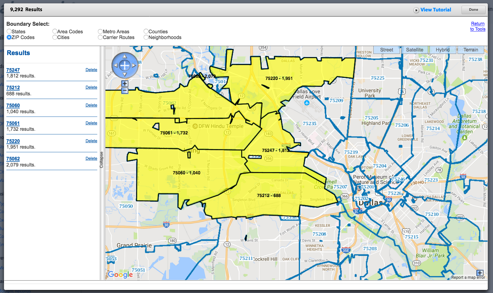
Search by neighborhood, carrier routes, city, county, metro areas, area codes or state.
Boundary Select: Use this tool to easily create a selection area bounded common geographic boundaries -- neighborhood, carrier routes, city, county, metro areas, area codes or state.
PLEASE NOTE: Not all boundaries selects are available at every zoom level. Zoom in or out if you don’t see the boundary select you want.
Boundaries will appear as blue lines on the map.
Click on this shape in the Results column on the left hand side to zoom to that shape, change the title assigned to that shape and select “Include” or “Exclude”.

